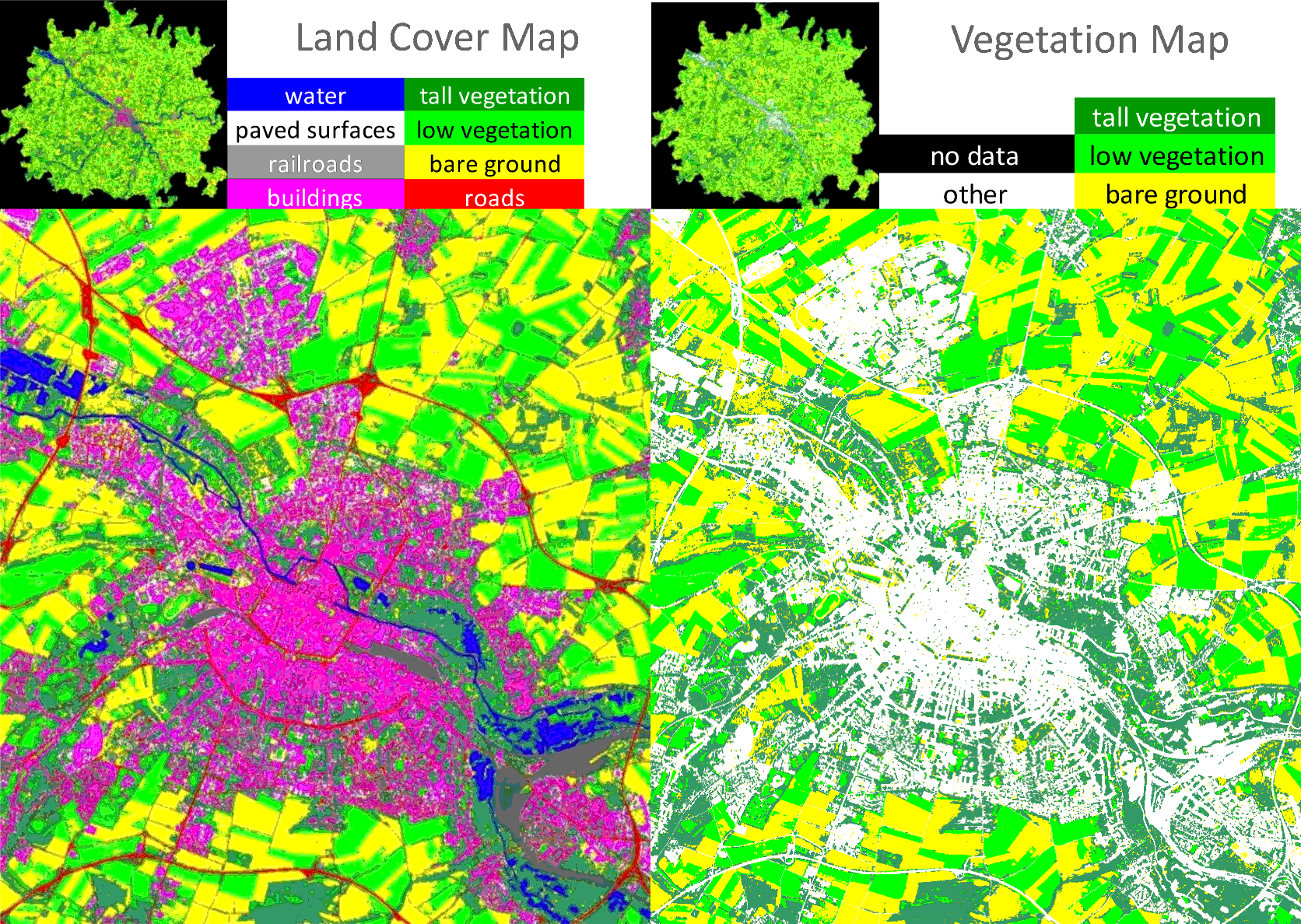
URBIS involved Italian, French, German, and Czech experts, who demonstrated how satellite image analysis -- together wtih information from local authorities and the Copernicus programme of the European Space Agency -- allow detecting under-utilized urban areas, where new housing and activities could be developed with no urban sprawl and without affecting natural or cultivated areas. The same analysis makes it possible to obtain useful information about how to make our cities more liveable, for example, by building "green corridors" that allow citizens to walk or byke through large portions of the town in their spare time or to reach their work sites.